

Fifty years after a carefree beach camping adventure in Myall Lakes National Park, a spontaneous return ride revealed what’s changed and what remains timeless...
Half a century ago, I was editor of a motorcycle magazine called Two Wheels. I also took photos and occasionally wrote stories, which allowed me to grab a bike and more or less head off anywhere, like Myall Lakes, as long as I came back with a tale worth telling…
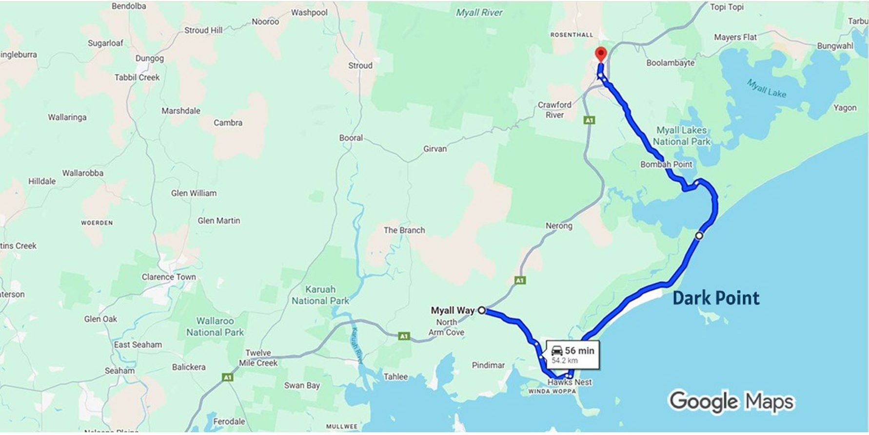
On this occasion my blonde then-girlfriend and I loaded up a Honda Four from the magazine’s bike park with camping gear and headed north from Sydney. We turned off the main northern artery, the Pacific Highway, onto the Myall Way (which I think was called something else then) and headed for Hawks* Nest where we did some food shopping. We then took Mungo Brush Side Road north into Myall Lakes National Park to the turnoff to Wildflower Walk, on the right.
Read previous Bear Tracks columns here…
Now I sincerely hope that there’s a statute of limitations on trespassing in a national park, because powered vehicles were very definitely not allowed on this kind of track. But I wanted to get to Dark Point because one of the blokes from the 4WD magazine we also published had told me that there was some excellent and remarkably private camping in the dunes south of the point itself.
He was right, and after struggling a little with the sandy Wildflower Walk we set up our tent in the sandhills. We spent three midweek days completely alone, relaxing, reading and skinny dipping, before the weekend announced itself with the first 4WD coming up the beach. We packed up and went home, very much the better and browner all over for the experience.
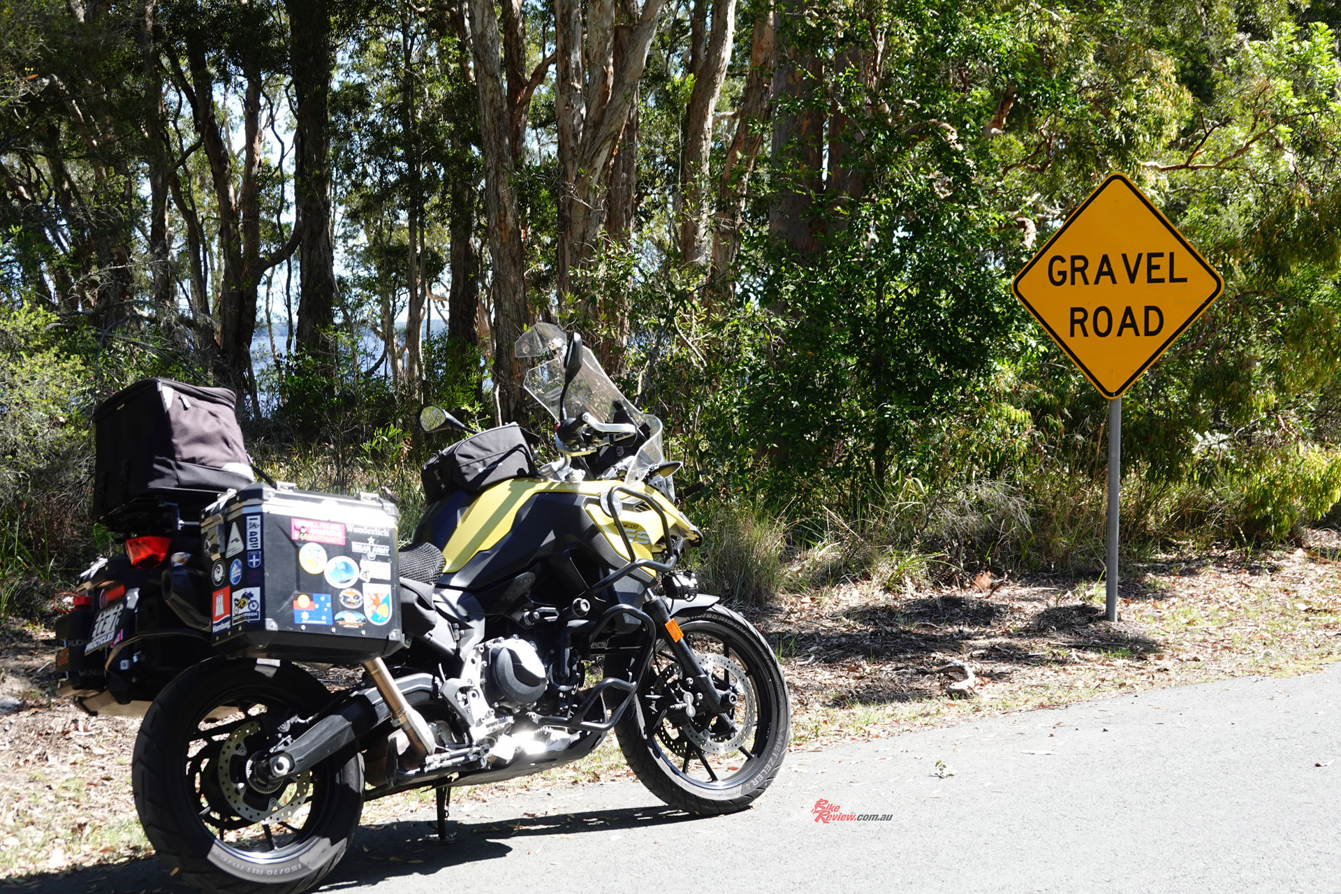
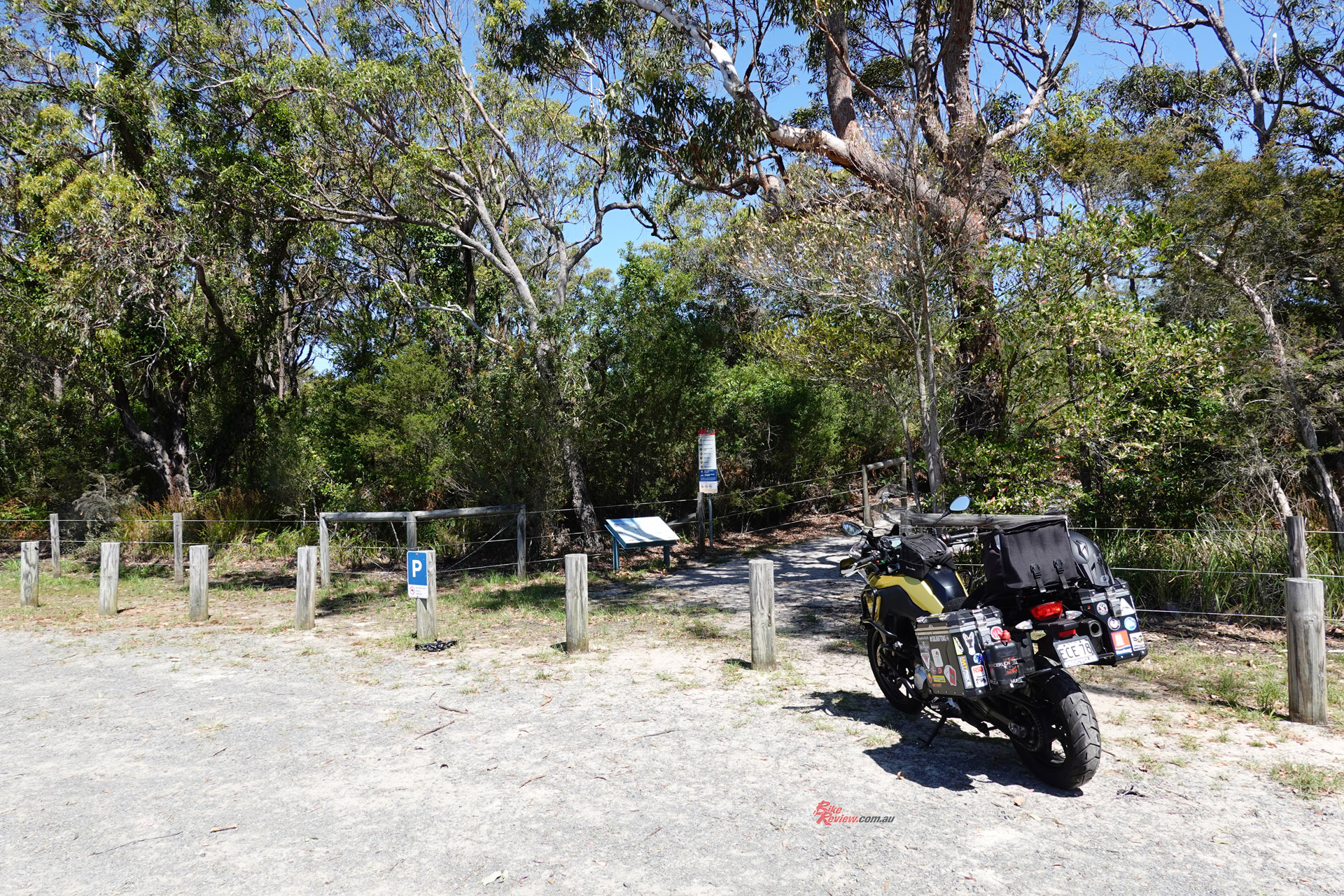
You can still do this, although the same level of privacy is not going to be available, at least not when the weather is fine. And camping out, even up there on the beach, is not a lot of fun when it isn’t fine. Skinny dipping may be out, too. There are also several developed campgrounds with facilities like toilets in the park, both on the ocean and the lake side. The Myall Lakes are shallow and generally warm. The tracks leading to the campsites are a reasonably good mixture of gravel and sand, easily covered on even the most roady road bike.
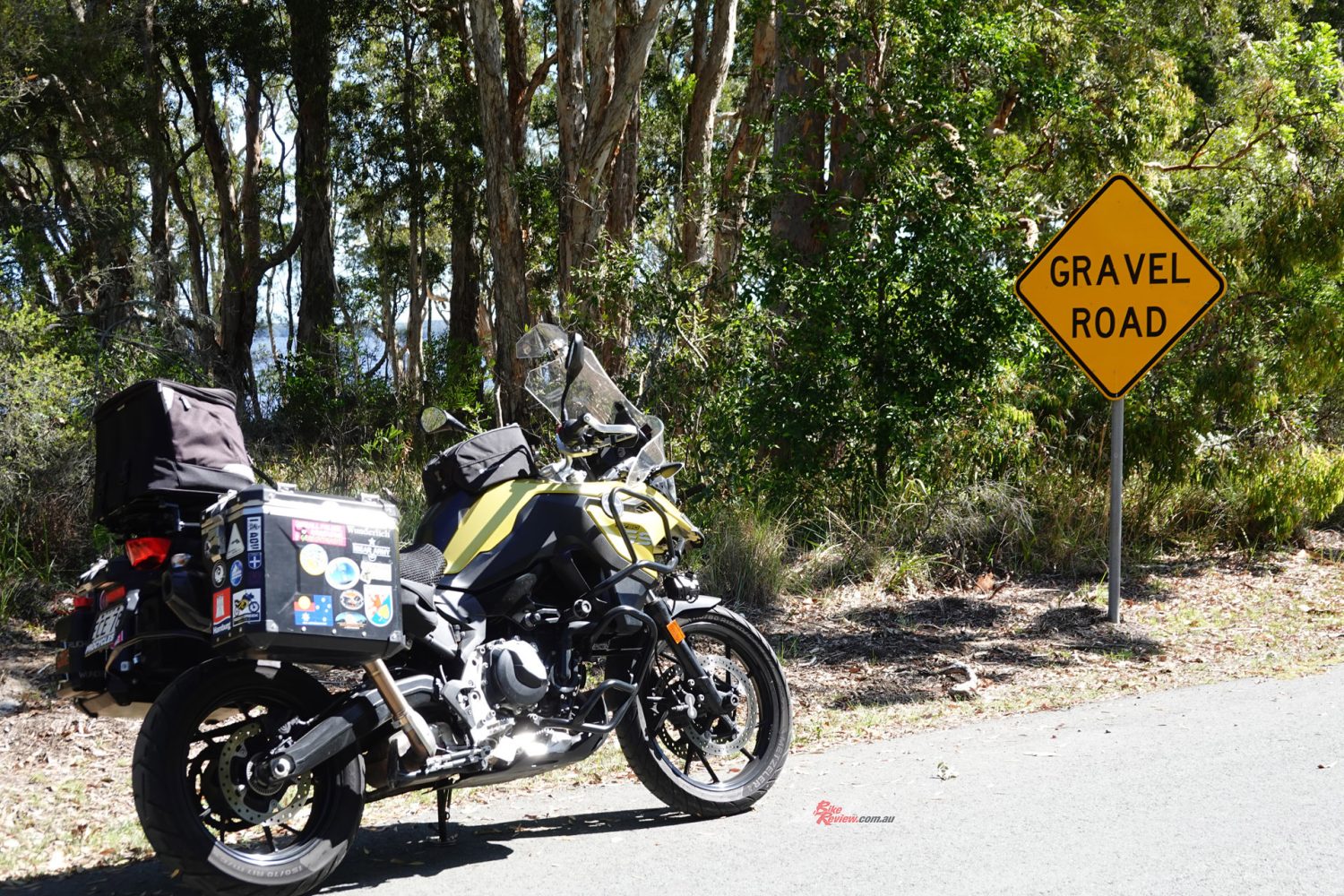
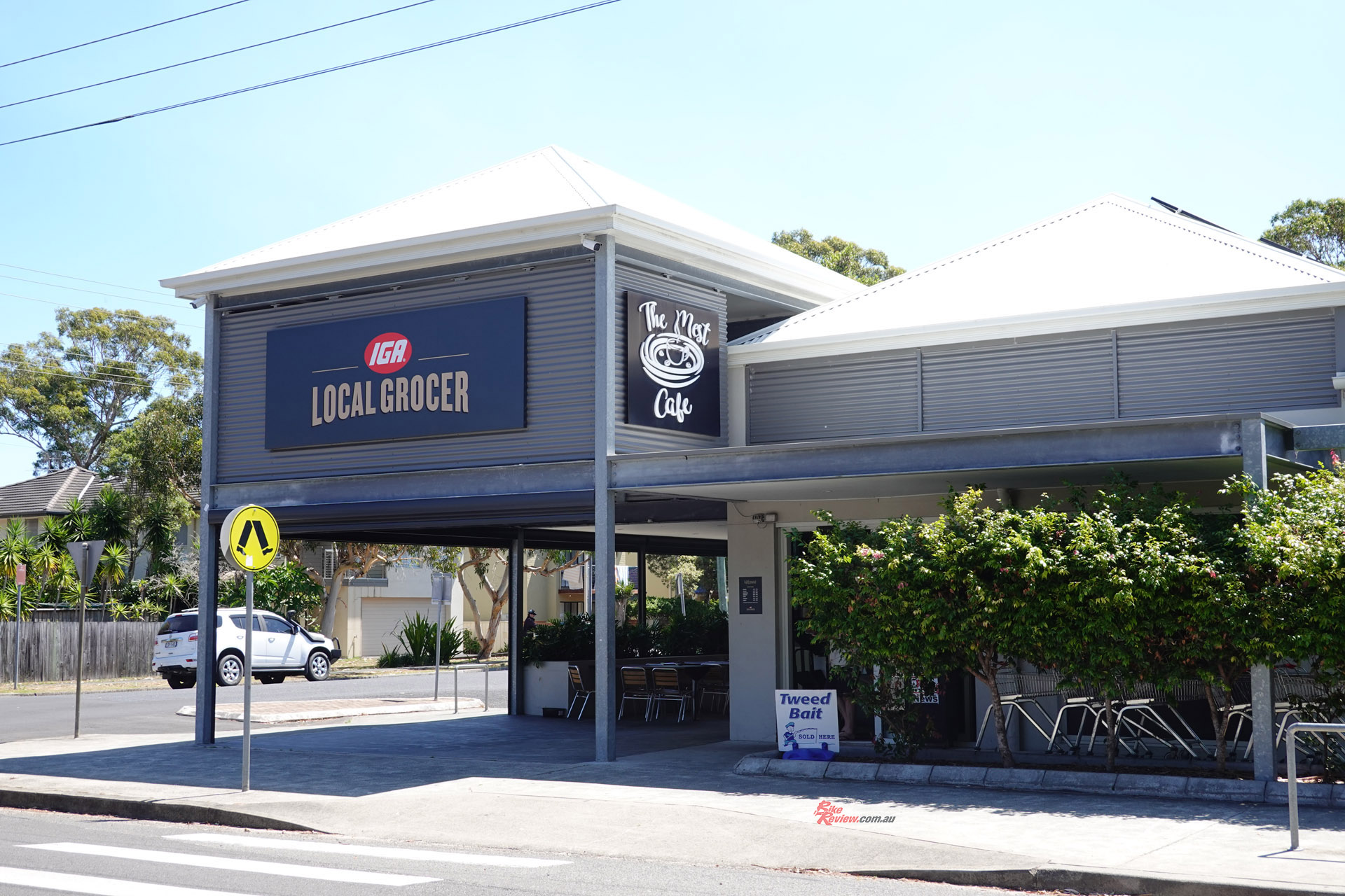
A few weeks ago I was out putting some nostalgic ks on my BMW F 750 GS before selling it, and entirely on impulse I turned off into Myall Way once again from the Pacific Highway. This may be hard to believe but Hawks Nest has hardly changed in fifty years. I picked up lunch at the IGA and once again took the Side Road north. The road is sealed now where it was gravel and sand, and one of the main attractions has been closed.
This was the side road to Seal Rocks, a sandy trail that was an almost absurd amount of fun on a motorcycle…
This was the side road to Seal Rocks, a sandy trail that was an almost absurd amount of fun on a motorcycle. All blocked off now, and I no longer have the kind of chutzpa that allows me to simply ignore ‘closed’ signs. Well, some of the time. This time because even at its peak this track was difficult in places, and I didn’t want to get stuck. No danger, but possibly a lot of embarrassment.
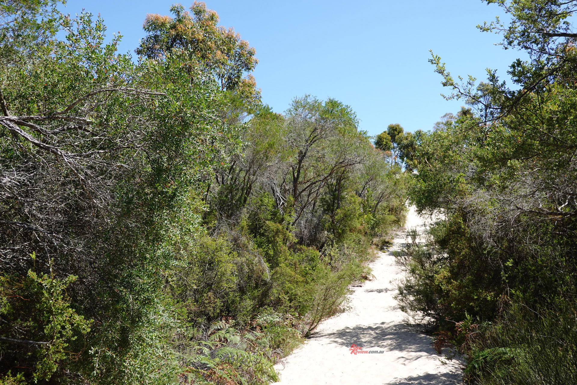
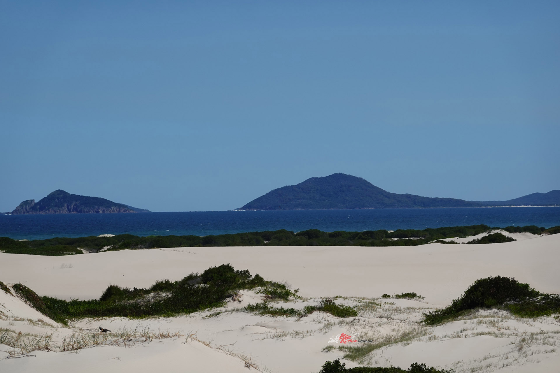
It was a hot day, and the high dunes keep the sea breeze off the road quite effectively. I took my lunch and climbed the path from one of the parking lots to the top of the sandhills and enjoyed a bread roll with an improvised salad while admiring he view right across to the other side of Port Stephens to Tomaree Head.
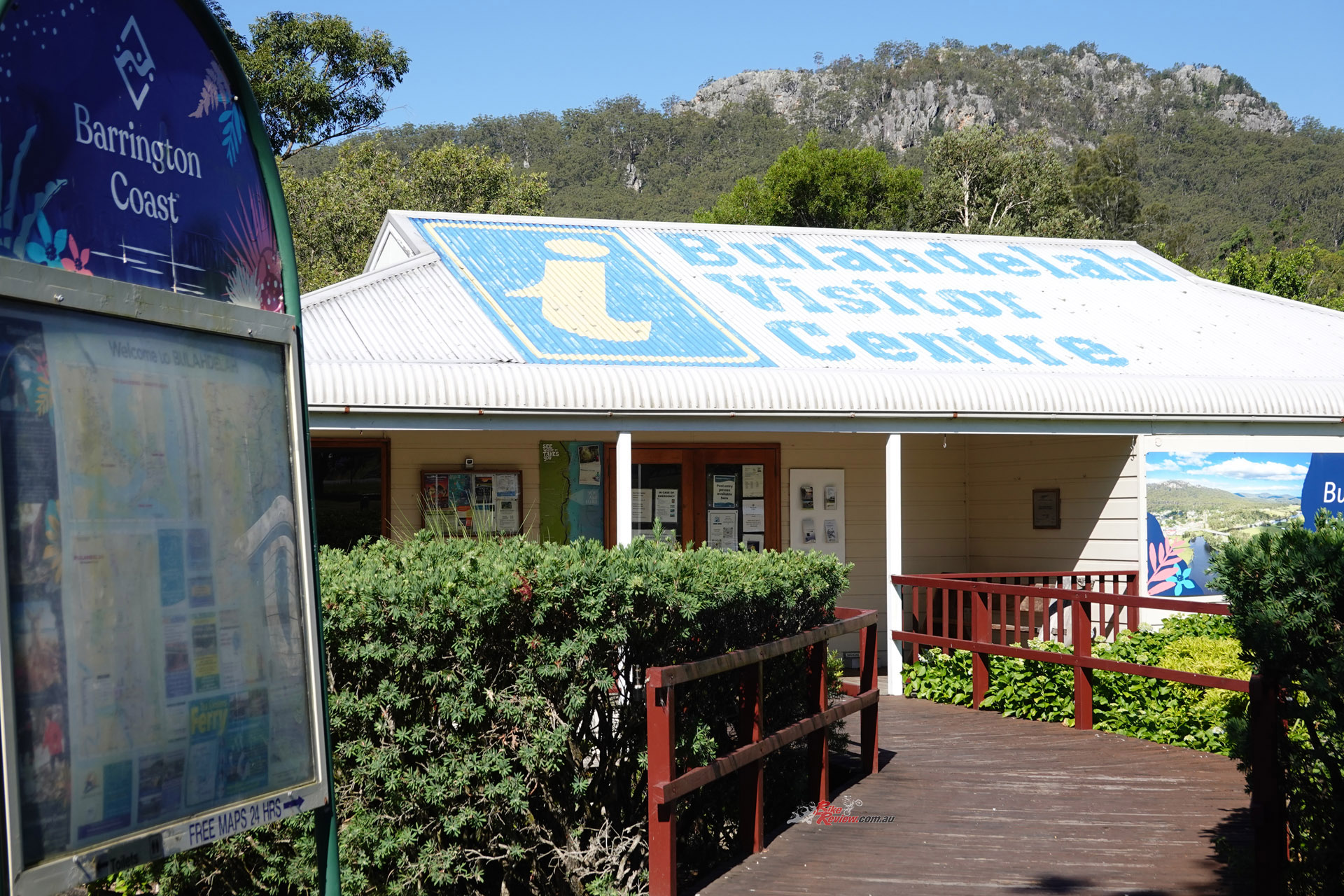
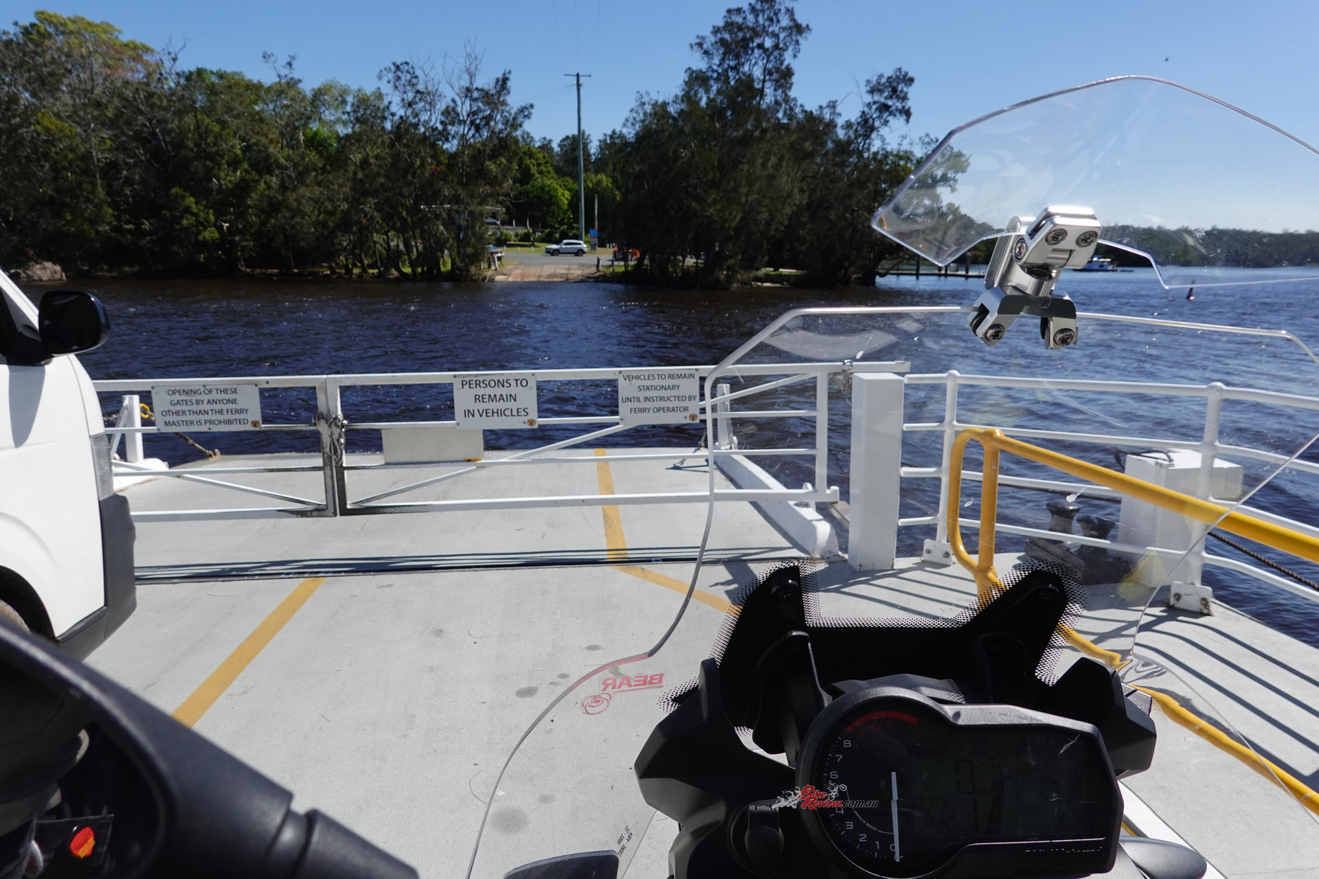
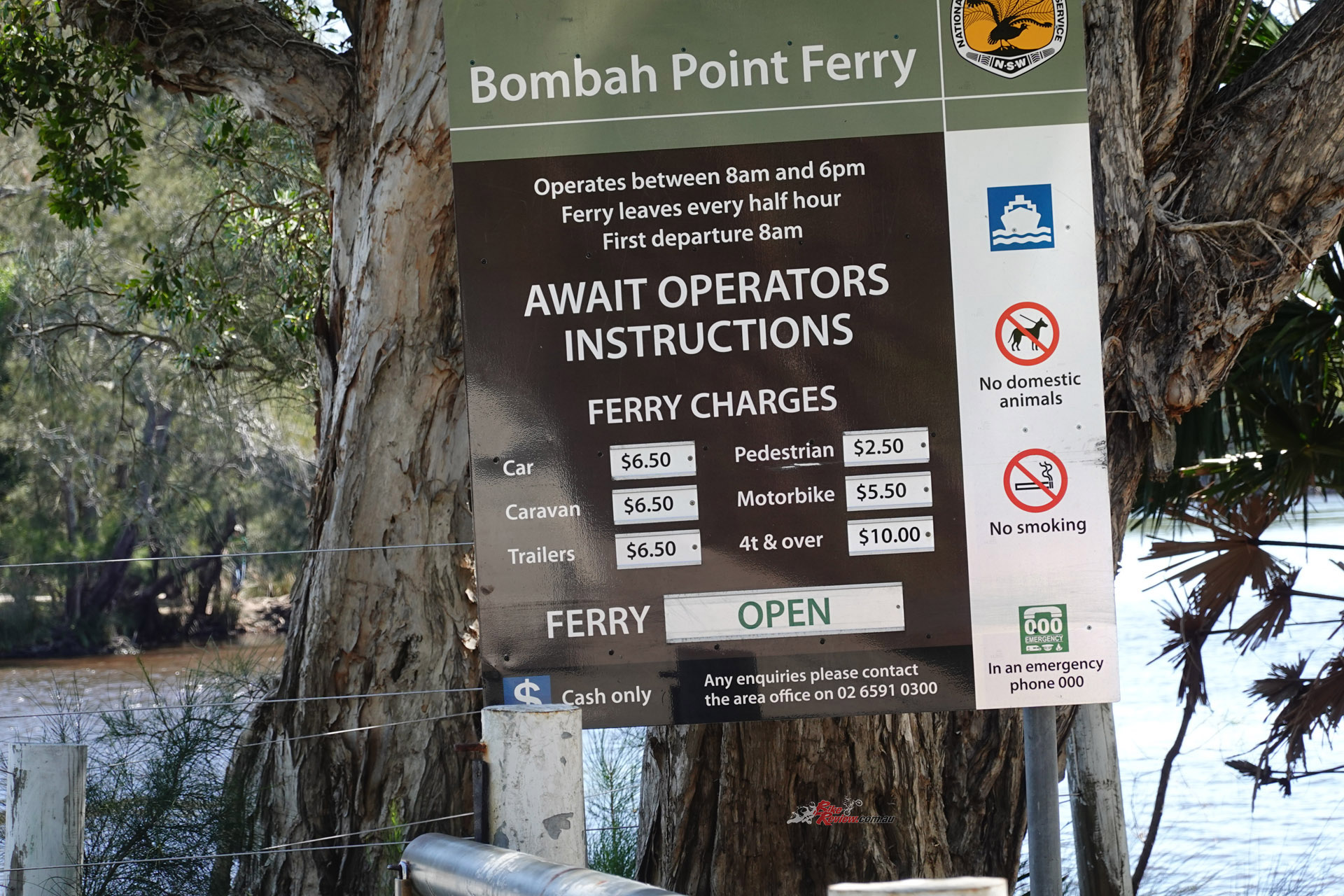
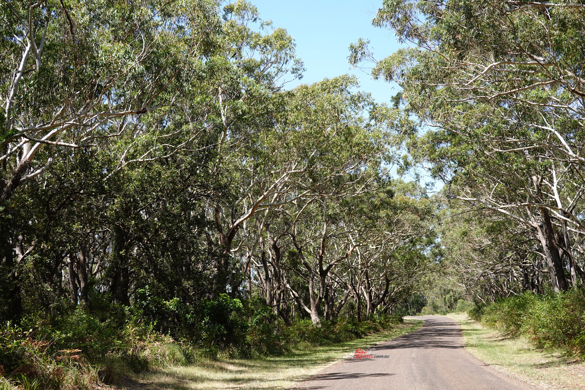
After lunch and a bit of reminiscing I rolled along the well-maintained tar, on to the Bombah Point ferry, one of the few in New South Wales that charges for the crossing. It spans a narrow part of the lakes, not a river, which makes it unavoidable. You simply can’t go around it. Not that it matters; the charge is hardly extortionate. It runs every half hour from 8.00am to 6.00pm, and the ferryman only takes cash. Unusual these days when a lot of places don’t take cash at all any more.
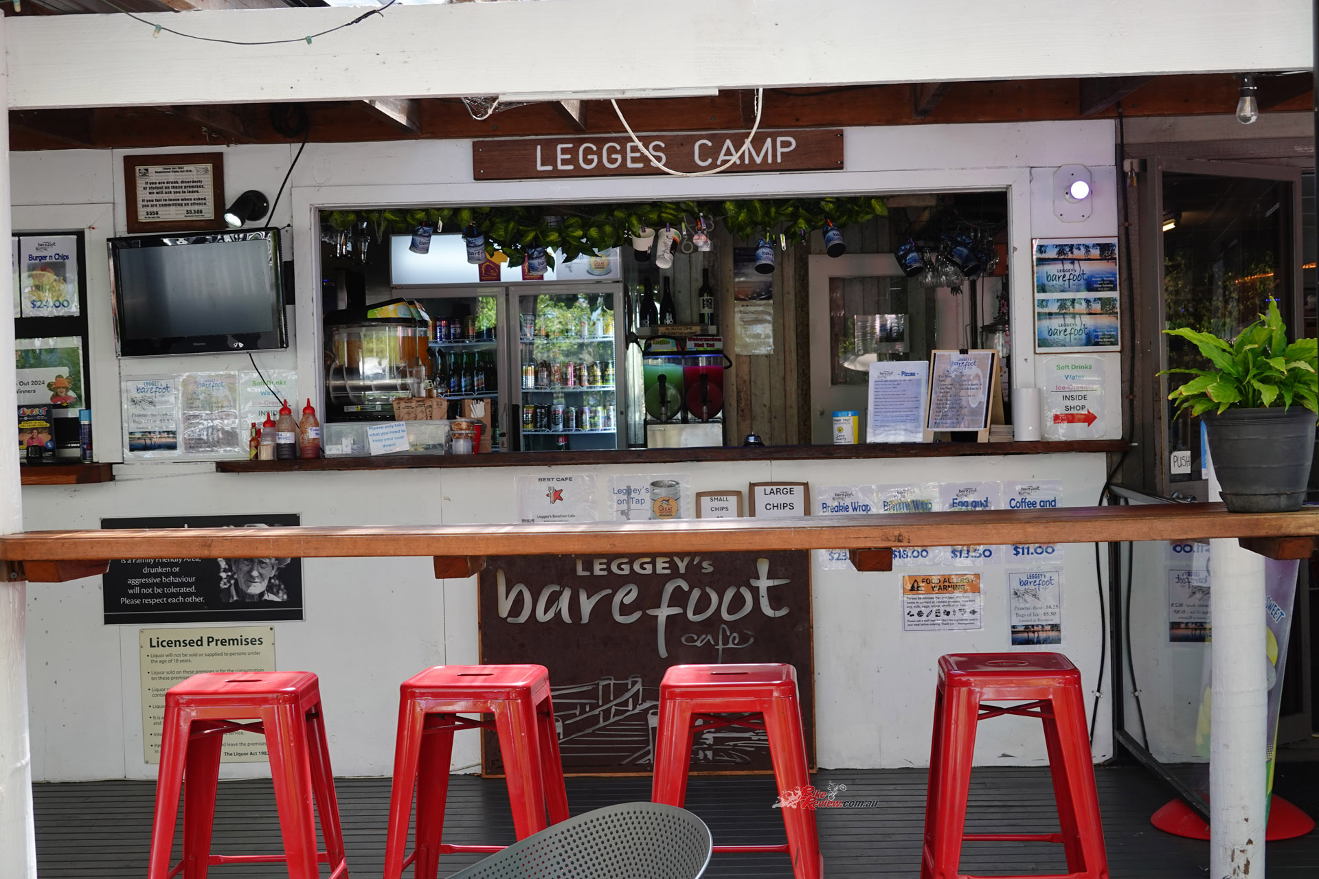
Legges Camp, the lakeside campground on the eastern side of the ferry crossing, has come down somewhat in the years since I last saw it. Quite literally. The main building is sagging quietly, condemned and cordoned off, possibly after a lightning strike and fire.
There is now a supposedly-temporary-but-permanent-looking bar/kiosk/shop in its stead which seems quite convivial. I allowed myself a pleasantly cold beer before jumping back on the BMW and tackling the few hundred metres of gravel before the road goes to tar seal again, on the way to Bulahdelah just off the Highway.
If you don’t bugger about the way I did it’s only an hour for this enjoyable diversion off the Pacific Highway, a good way to break the monotony whether you’re going north or south. You’ll have no problem on any kind of bike, in fact you’ll probably feel a little overequipped on anything but a full-on touring bike. But whatever you ride, I recommend this detour. Even if you don’t have a tall blonde to go skinny dipping with.
*In the mid-1990s, Australia’s Geographic Names Board, in an Orwellian decision which explicitly mirrors the U.S. Board on Geographic Names’ standard, began eliminating punctuation such as apostrophes and hyphens.
The Author

You Might Also Like